California's Best Camping
For complete information about all the best camping in the area, including June Lake Loop, Rock Creek, and all up and down California, visit our sister website.
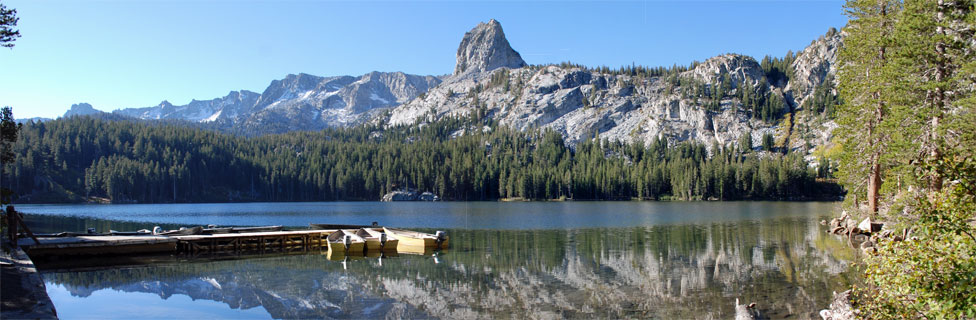
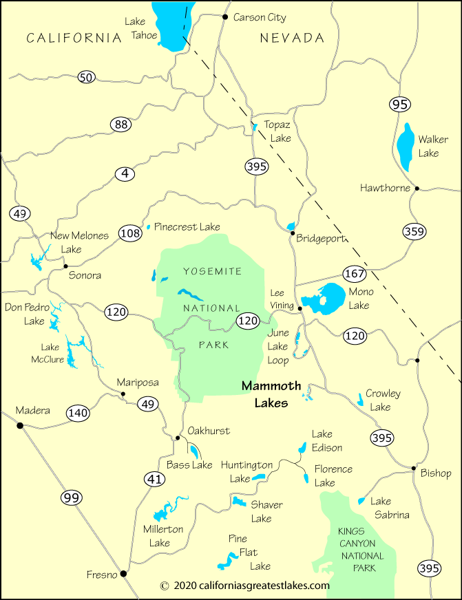
The Mammoth Lakes is on Highway 203 off Highway 395 about 25 miles south of Mono Lake.
Coming from Northern California, the fastest route is to cross Donner Summit (Interstate 80) or Echo Summit (Highway 50) and then drive south on 395. Other passes such as Carson, Ebbetts, Sonora, and Tioga will also work. Central California residents may wish to cross via Tioga Pass through Yosemite. Be prepared for a long, although scenic, drive.
From farther south, Walker Pass will lead to Highway 395 and then north to Mono Lake. Los Angeles area residents already know to head north on Highway 14 until it connects with 395.
| Miles | Hours | Mins. | |
|---|---|---|---|
| Bishop | 42 | 0 | 47 |
| Bridgeport | 54 | 1 | 03 |
| Carson City, NV | 136 | 2 | 57 |
| Fresno | 189 | 4 | 33 |
| Las Vegas, NV | 308 | 5 | 22 |
| Los Angeles | 309 | 5 | 10 |
| Modesto | 181 | 4 | 15 |
| Reno, NV | 169 | 3 | 44 |
| Sacramento | 242 | 5 | 14 |
| San Francisco | 262 | 5 | 37 |
| San Jose | 260 | 5 | 32 |
| Sonora | 151 | 3 | 05 |
| Yosemite Valley | 103 | 2 | 27 |
For complete information about all the best camping in the area, including June Lake Loop, Rock Creek, and all up and down California, visit our sister website.