California's Best Camping
For complete information about all the best camping in the area, including Buena Vista Aquatic Recreation Area, Lake Success, and all up and down California, visit our sister website.
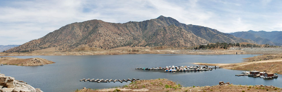
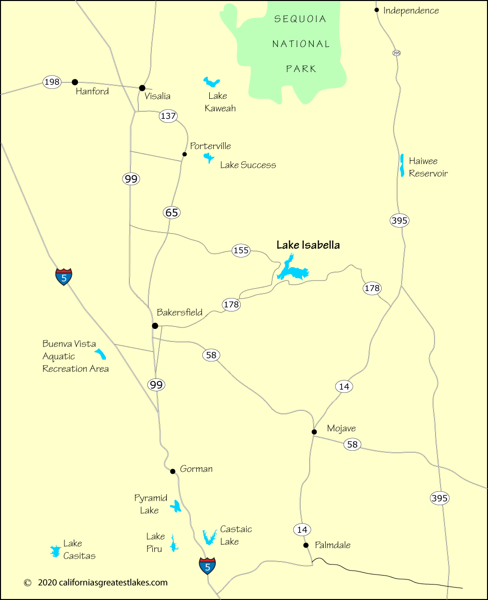
From the vicinity of Bakersfield, Highway 178 is the most popular route. The highway winds through the river canyon on its way up to the lake. From Mojave go west on Highway 58 and when a short distance east of Bakersfield, take the Comanche Dr. connection up to Highway 178.
An alternate route is via Highway 155 from along Highway 99. Highway 155 comes out at Wofford Heights at Lake Isabella. Highway 155 is actaully a little slower choice than Highway 178 from almost anywhere in the valley.
| Miles | Hours | Mins. | |
|---|---|---|---|
| Bakersfield | 49 | 1 | 06 |
| Fresno | 158 | 2 | 49 |
| Gorman | 93 | 1 | 51 |
| Las Vegas, NV | 298 | 5 | 23 |
| Los Angeles | 160 | 2 | 51 |
| Mojave | 93 | 1 | 52 |
| Palmdale | 129 | 2 | 28 |
| Porterville | 60 | 1 | 47 |
| Sacramento | 324 | 5 | 25 |
| San Diego | 280 | 4 | 43 |
| San Jose | 289 | 5 | 09 |
| San Francisco | 330 | 5 | 43 |
| Santa Barbara | 195 | 3 | 38 |
| Visalia | 92 | 2 | 19 |
For complete information about all the best camping in the area, including Buena Vista Aquatic Recreation Area, Lake Success, and all up and down California, visit our sister website.