California's Best Camping
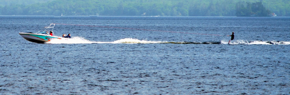
For complete information about all the best camping in the area, including Lake Nacimiento, Santa Margarita Lake, and all up and down California, visit our sister website.
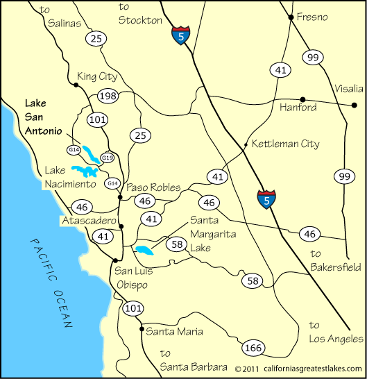
From the Bakersfield area cut over to I-5 and go north to Highway 46. Follow it to Highway 101, and then go north to G14 (Interlake Rd.) or G19 (Nacimiento Lake Dr.).
From the Fresno area go south on Highway 41. After it merges with Highway 46 watch for the cutoff of 46 to the right, heading west and follow it to Highway 101. Then go north to G14 (Interlake Rd.) or G19 (Nacimiento Lake Dr.).
Those traveling from the south around Santa Barbara or the north around Monterey know to simply take Highway 101 to G14 (Interlake Rd.) or G19 (Nacimiento Lake Dr.).
For complete information about all the best camping in the area, including Lake Nacimiento, Santa Margarita Lake, and all up and down California, visit our sister website.
| Miles | Hours | Mins. | |
|---|---|---|---|
| Bakersfield | 128 | 2 | 38 |
| Fresno | 131 | 2 | 38 |
| King City | 43 | 0 | 46 |
| Monterey | 108 | 1 | 52 |
| Paso Robles | 22 | 0 | 24 |
| Salinas | 89 | 1 | 26 |
| San Luis Obispo | 49 | 0 | 47 |
| Santa Barbara | 156 | 2 | 27 |