California's Best Camping
For complete information about all the best camping in the area, including Lake Tahoe, Donner Lake, New Bullards Bar, and all up and down California, visit our sister website.
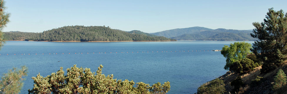
In Oroville watch for the Oroville Dam Boulevard exit off of Highway 70. Follow Oroville Dam Boulevard up to the dam, the Visitor Center, and the Bidwell Canyon Marina section of the lake.
Coming from the south, continue north on Highway 70 from Oroville about 12 miles. Watch for the sign to Lime Saddle Recreation Area and Pentz Road. Turn there on Pentz Road off Highway 70 and continue for 2 miles.
Coming from Chico, turn off onto Pentz-Durham Road. Turn left and continue approximately 6 miles to Pentz Road, keeping an eye open for the Lime Saddle Recreation Area sign. Turn left there and go 2 miles to the Marina entrance.
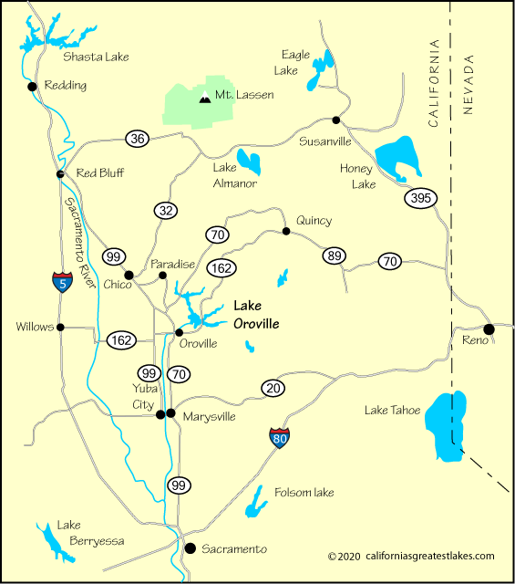
| Miles | Hours | Mins. | |
|---|---|---|---|
| Chico | 31 | 43 | |
| Fresno | 245 | 4 | 18 |
| Los Angeles | 458 | 7 | 31 |
| Oroville | 7 | 15 | |
| Portland, OR | 518 | 8 | 24 |
| Red Bluff | 70 | 1 | 24 |
| Redding | 101 | 1 | 53 |
| Reno, NV | 166 | 3 | 14 |
| Sacramento | 75 | 1 | 38 |
| San Francisco | 159 | 3 | 01 |
For complete information about all the best camping in the area, including Lake Tahoe, Donner Lake, New Bullards Bar, and all up and down California, visit our sister website.