California's Best Camping
For complete information about all the best camping in the area, including Don Pedro Lake, Yosemite National Park, and all up and down California, visit our sister website.
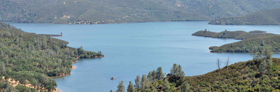
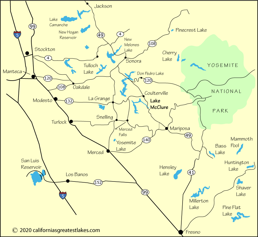
Visitors following Highway 49 to Lake McClure can simply turn west on Highway 132 and immediately arrive at the Horseshoe Bend Recreation Area or stop at Bagby where the highway crosses the Merced River Arm.
From Modesto and anywhere to the north, take Highway 132 east to Horseshoe Bend. To get to Barrett Cove, turn south off of 132 either on Hayward Road (connecting via Ranchito Dr.) or Merced Falls Road.
To continue on to McClure Point, pick up one of the small connector roads out of the Barrett Cove area or go south to Merced Falls Road. From Merced Falls take Lake McClure Road to McClure Point.
From the Merced area take Highway 52 to Merced Falls. From there follow Lake McClure Road to McClure Point or Merced Falls Road to Barrett Cove.
| Miles | Hours | Mins. | |
|---|---|---|---|
| Fresno | 109 | 2 | 02 |
| Mariposa | 27 | 0 | 37 |
| Merced | 54 | 1 | 11 |
| Modesto | 53 | 1 | 30 |
| Sacramento | 119 | 2 | 19 |
| San Jose | 143 | 2 | 49 |
| San Francisco | 146 | 2 | 57 |
| Sonora | 29 | 0 | 32 |
| Stockton | 76 | 1 | 35 |
For complete information about all the best camping in the area, including Don Pedro Lake, Yosemite National Park, and all up and down California, visit our sister website.